|
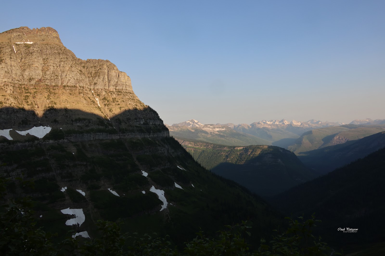
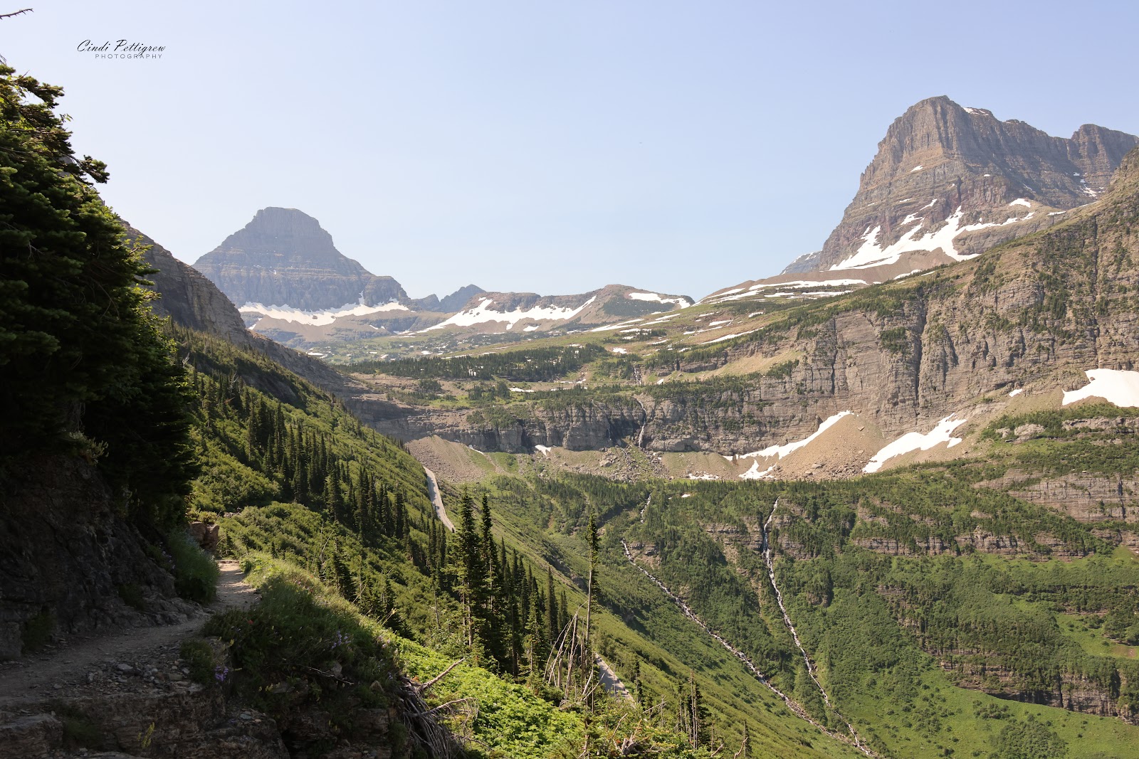
| Going-to-the-Sun Road with The Highline(top right) |
After taking a day off to recuperate from the 40-mile bike ride we headed up to Logan's Pass to hike our favorite trail...the Highline. The last few years Glacier National Park has instituted a ticket system to access the Going-to-the-Sun Road. We missed out on the initial offering of tickets back in January which sold out in less than 5 minutes. Thankfully, no ticket doesn't mean you can't drive the road you just need to get past the check point before 6:00 AM or after 3:00 PM.
Someone (Bill) was nervous about the possibility something slowing us down & not reaching the checkpoint before 6:00 AM. He thought we should attempt to get one of the tickets released the night before the hike. I managed to score a ticket despite the extremely slow WI-FI at the visitor center so if that 'someone' overslept it would not be a problem.
We skipped breakfast in the trailer and packed our camp stove along with bacon, eggs & coffee to cook in the parking lot...just like tailgating back in the old days of VT Football. Why...because Logan's Pass parking lot fills quickly and usually well before 7:00 AM. People have definitely 'discovered' Glacier. We left camp before 5:00 AM & headed towards Logan's Pass. Definitely enough early morning light that you could see any critters...like the fox running across as we left camp & a male sage grouse showing off in the middle of Going-to-the-Sun Road. Neither of which we got a chance for a photo...or even a photo of two young mountain goats licking the road just before the parking lot at Logan's Pass. Too much traffic behind us to stop & not one pull-out when you needed it. Oh well...
 |
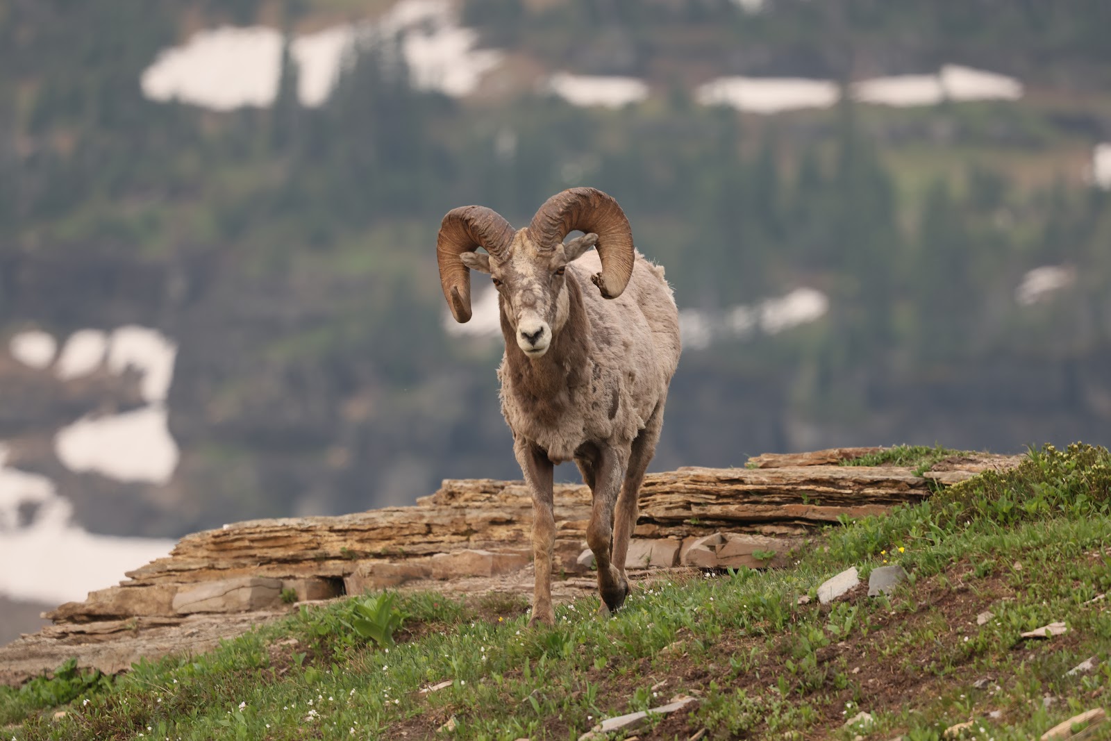
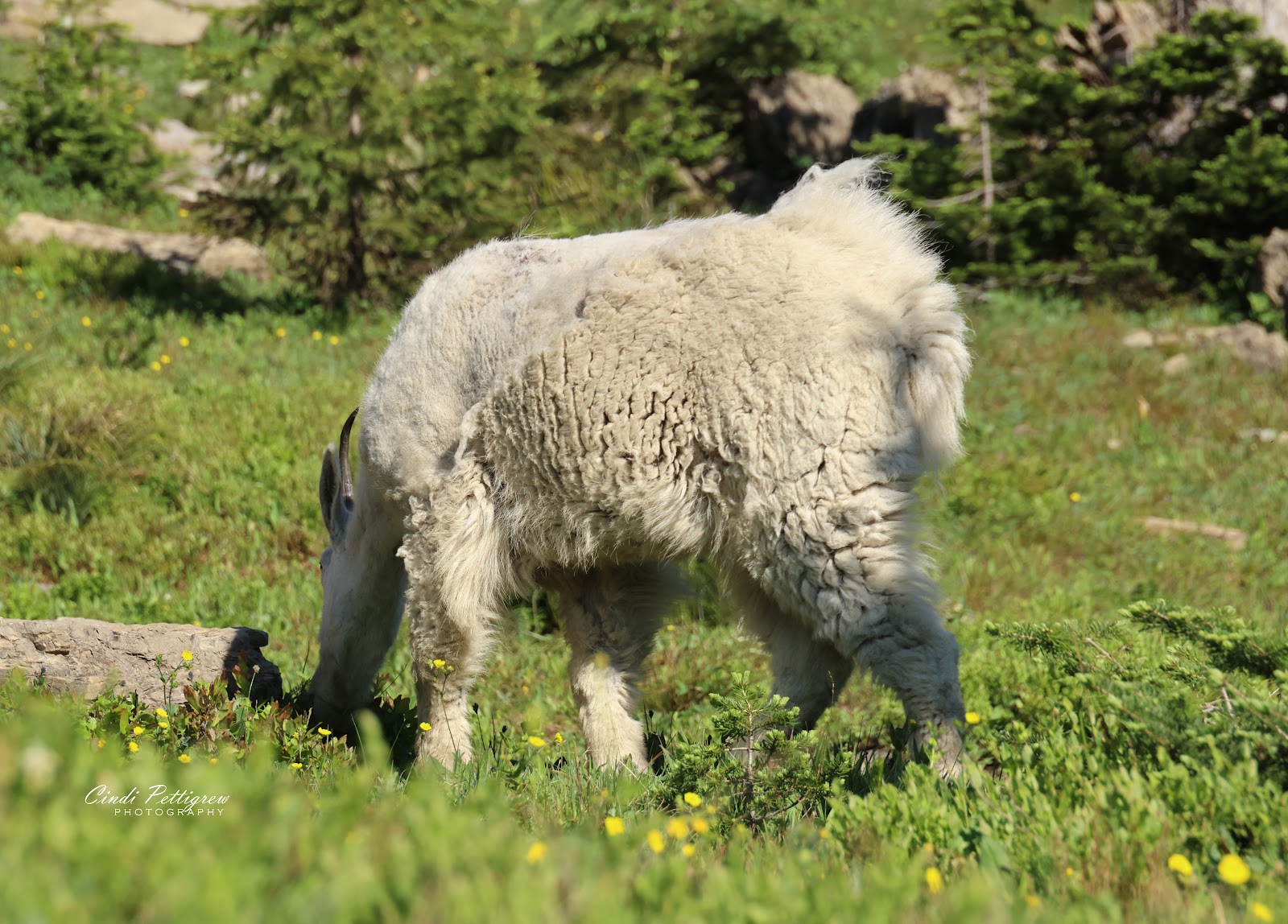
| Rocky Mountain Big Horn Sheep |
Arriving just a smidge past 6:00 AM we noticed that we were no where near first in the lot. Guess those super early birds were there for sunrise & a nap. We parked & pulled out the cooking gear.
Just as I started cooking a few Rocky Mountain sheep rams wandered through the parking lot. Bill shot a few pictures of them as they moved off into the meadow for their day of gawking from the tourons.
 |
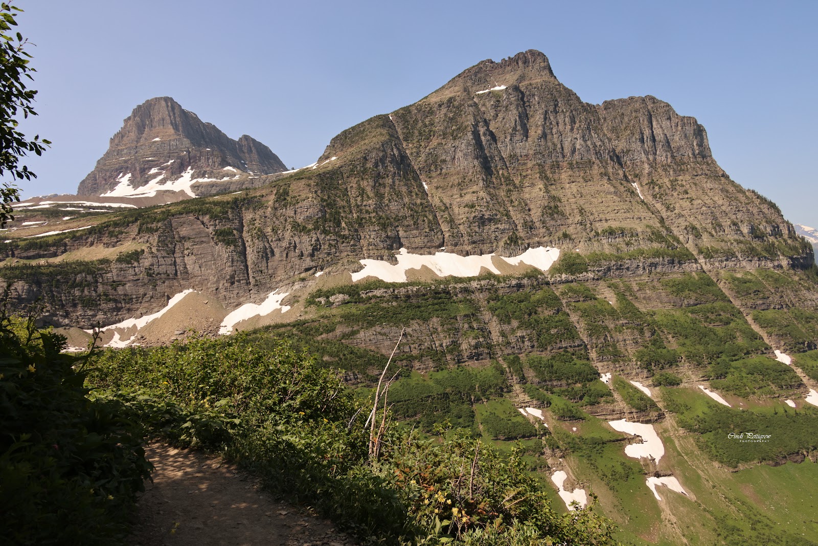
| Mount Oberlin (left) from The Highline |
We finished breakfast & watched the lot fill by 6:45 AM. Poor souls arriving 'late' circled in vain until some early sunrise hikers returned to their cars. After Bill scored some bug spray...(our repellant got left in the trailer...oopsie) we were ready to hit the trail. Our plan was to hike to Haystack Butte and turn back to Logan's Pass for a total of 8 miles.
A warmer start to the hike than past hikes, but it was kind of nice not having to start the morning wearing down jackets, hats & gloves. Yes, we packed them because you 'never know' when the Montana 'crazy weather' will show itself. It never did on this hike.
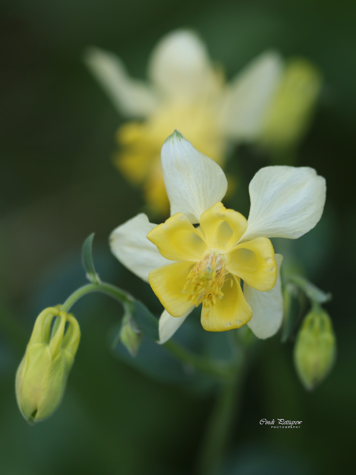 |
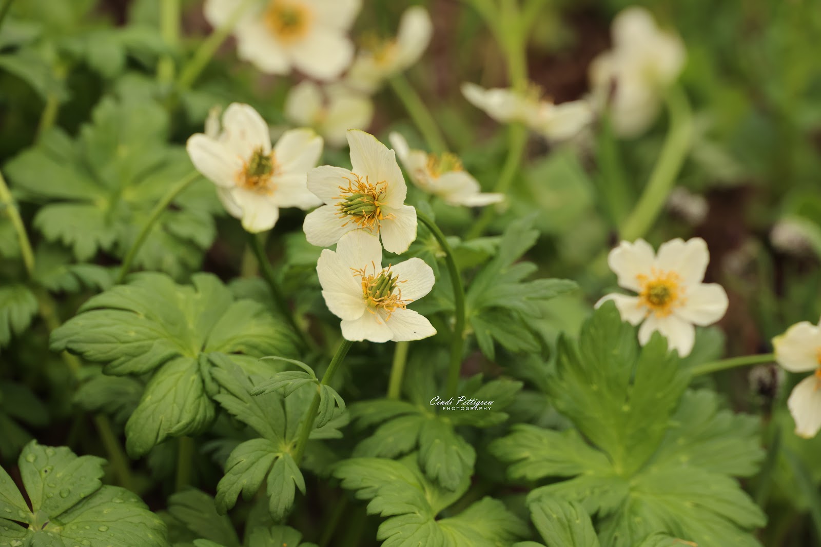
| Yellow columbine |
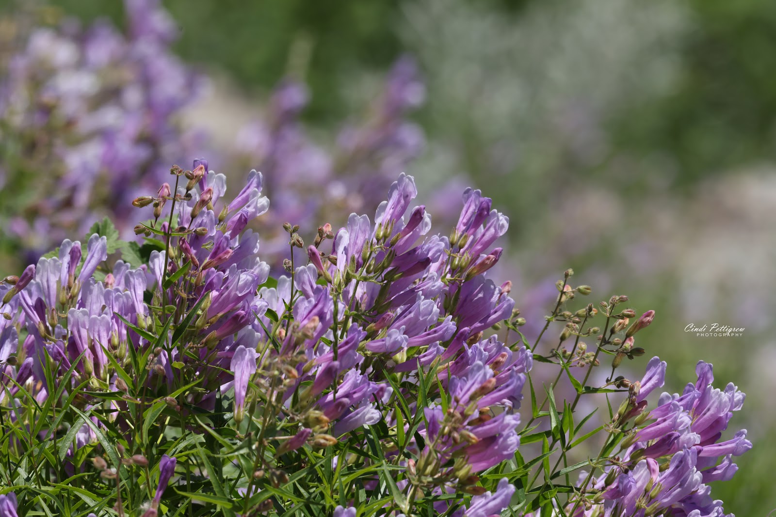
Lots of wildflowers were blooming along the trail. It does tend to slow one down in order to take numerous pictures of the various flowers...yellow columbine, beargrass, shooting stars, glacier lily, Indian paintbrush, death camas, anemone, beardtongue, rosy spirea, monkey-flower, bog violets, American alpine speedwell, blanket flower, explorer's genetian, etc.
I took a photograph of every specimen I could find along the trail.
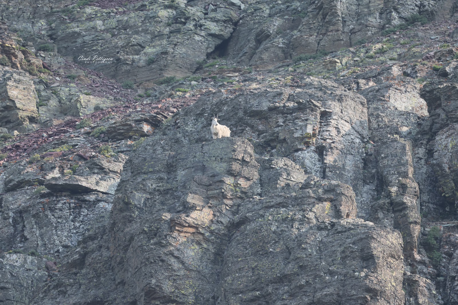
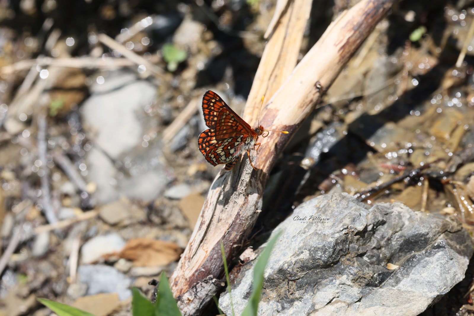
Quite a few Columbian ground squirrels & marmots made an appearance along with a single mountain goat on rocks above the trail.
 |
| Deep-throated shooting stars |
 |
| Beargrass |
 |
| Columbian ground squirrel |
 |
Yellow columbine and sitka valerian
|
 |
| Hoary marmot |
 |
| The Highline's narrow section |
The Highline has become an extremely popular hike. If you're afraid of heights there are a few spots that can be very intimidating...especially if a mountain goat happens to be traversing along the inside portion. Our strategy has been to put our back against the rock wall & loop our arms behind the cable and let it pass on the outside. So far that's worked without any problems.
Our rule for the narrow section is to 'never give the inside' to goats or people for that matter. Otherwise the trail isn't too hard and you can turn back anytime...the views out to Lake McDonald & surrounding mountain peaks are quite stunning.
 |
| Where's the view? |
We did run into a couple who asked a rather odd question..."where's the view?" We thought they were kidding since there were views all around us. The lady got quite upset when Bill waved his arm out & said "is there a bad view anywhere?" She started to grill us on "how far to the view?" & "how long will it take to get to it?" At this point we had no idea what she was wanting for "her view" nor any desire to figure it out since she was getting so upset with us.
We pointed behind us toward Haystack Butte, told her it was over a mile away and she'd needed to make her own decision when to turn back for that "other hike" she kept mentioning they wanted to complete. People can be so odd.
 |
| Touron with dog on the Highline |
Of course things come in threes'...another touron we came across about a mile into the Highline had her dog with them on the trail! Yep, she brought her dog on a hike which is a very big no no...there are multiple signs at the trailhead stating no dogs, but she ignored it.
We never saw them again so they must have hiked to the Chalet and/or to the Loop. Hopefully a Ranger caught them & explained the rules to them...along with a nice fat ticket.
 |
Dog on Hidden Lake Trail
|
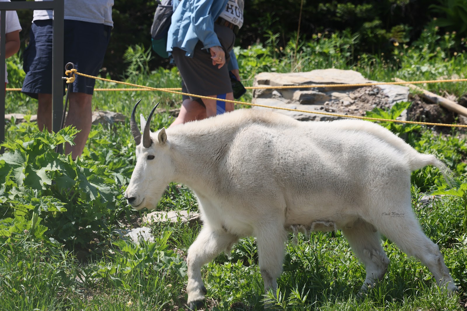
Our third touron of the day had a dog on the Hidden Lake Trail at Logan's Pass...the dog was out of control & pulling its owner all over the place. In the process it frightened a mountain goat that was laying on a snow bank close to the trail.
The goat bolted and thankfully didn't take out anyone on the boardwalk as it ran away from the dog. A Ranger did stop this person from going any further up the boardwalk. First time for everything, but not a fan of people ignoring clearly posted warnings.
 |
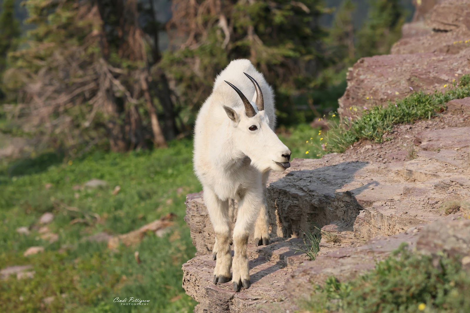
Mountain goat chewing his cud
|
Just as I reached the end of the hike I missed seeing the mountain goat laying on a snow bank. Odd that I'd miss seeing a critter, but I did on this trip. Bill didn't so he shot a few photos before the goat moved off toward the Visitor Center. By that time I had reached the truck, removed my boots & then noticed the goat. I quickly put the boots on & made my way back uphill.
He was pretty unconcerned about all the people & cars. The Ranger, however, wanted the mountain goat to move on so he shooed it off its perch. Once it was out of sight Bill wandered off to see if he could see any more goats in the meadow and I headed off in the other direction to shoot photos of flowers...again.
 |
| Mountain goat watching the activity |
 |
| Unconcerned mountain goat |
 |
| Eating a mouthful |
All in all a fantastic day spent hiking along the Highline. Well worth getting up at 4:30 AM. Tomorrow we're thinking we need to hike Hidden Lake Overlook before we head to Polebridge for several take home bear claws...another super early morning heading our way!
 |
| Reynolds Mountain & Mount Oberlin from Haystack Butte |
 |
| Clements Mountain & Mount Oberlin |
 |
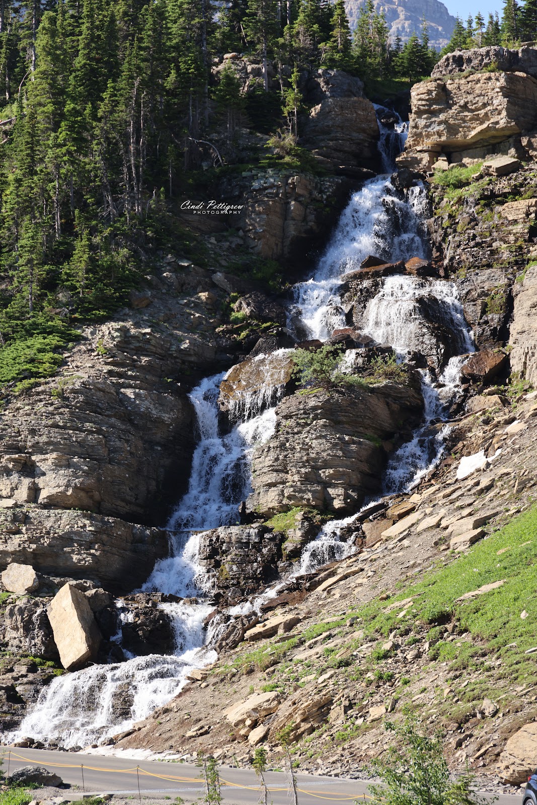
| Snow melt waterfall on Mount Oberlin |
 |
| Reynolds & Clements Mountain from the Highline |
*click to enlarge any picture